About Aerialscan
Survey navigation mapping and GIS for agriculture and industry. Specialised precision agriculture self steer, automation and GIS management systems. Engineering quality drone mapping and 3d modelling. Vegetation analysis systems. RTK GNSS survey and navigational equipment for professionals, surveying , gis and mapping, agriculture, fisheries and heavy industry, and environmental and natural resources.
Software and services for analysis including NDVI and Rededge. Flight planning software and services for drone mapping and asset inspection, GIS systems design construction and maintenance. Sales and service of CHCNAV Self Drive and Navigation products. Sales service and services for PhaseOne P3 cameras. Services for QLD and NSW.
Reviews
| 5 | 0% | (0) | |
| 4 | 0% | (0) | |
| 3 | 0% | (0) | |
| 2 | 0% | (0) | |
| 1 | 0% | (0) |
Nearby Businesses
Check out these popular businesses in Midge Point, QLD 4799
Mapping service in Midge Point, QLD 4799
Mapping services play a crucial role in a variety of industries, providing essential geographic and spatial data that help businesses make informed decisions. Whether it’s for urban planning, logistics, or natural resource management, a reliable mapping service can transform complex information into clear visual insights. Aerialscan is a prominent provider of mapping services in Midge Point, offering a full suite of solutions tailored to meet the unique needs of clients across different sectors.
Utilising advanced technology and expert analysis, Aerialscan delivers accurate, high-quality maps that assist organisations in visualising their data effectively. Their services include topographic mapping, land survey mapping, and GIS (Geographic Information System) analysis, ensuring that clients have access to comprehensive data representation. With a focus on precision and clarity, Aerialscan can provide custom mapping solutions that address specific project requirements, whether for local government initiatives or private sector developments.
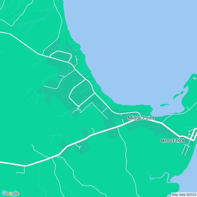
In Midge Point, the geographical diversity presents both unique challenges and opportunities, and Aerialscan understands the regional nuances that can impact mapping accuracy. Their team of skilled professionals is dedicated to producing user-friendly maps that not only enhance planning and development but also facilitate better communication and collaboration among stakeholders. From detailed site evaluations to extensive spatial analysis, Aerialscan leverages cutting-edge tools to deliver maps that are not only visually appealing but also highly functional.
Adopting a client-focused approach, Aerialscan collaborates closely with their clients to ensure that each mapping project is executed to perfection. They recognise that each map serves a distinct purpose, and as such, they take the time to understand the project's objectives fully. This commitment to customer satisfaction, combined with their expertise in the mapping field, positions Aerialscan as the go-to choice for mapping services in Midge Point.
By choosing Aerialscan, clients in Midge Point can expect to benefit from innovative mapping solutions that drive efficiency and enhance decision-making processes. Whether the need is for simple mapping services or complex spatial analysis, Aerialscan is equipped to provide the necessary expertise and resources to achieve outstanding results.